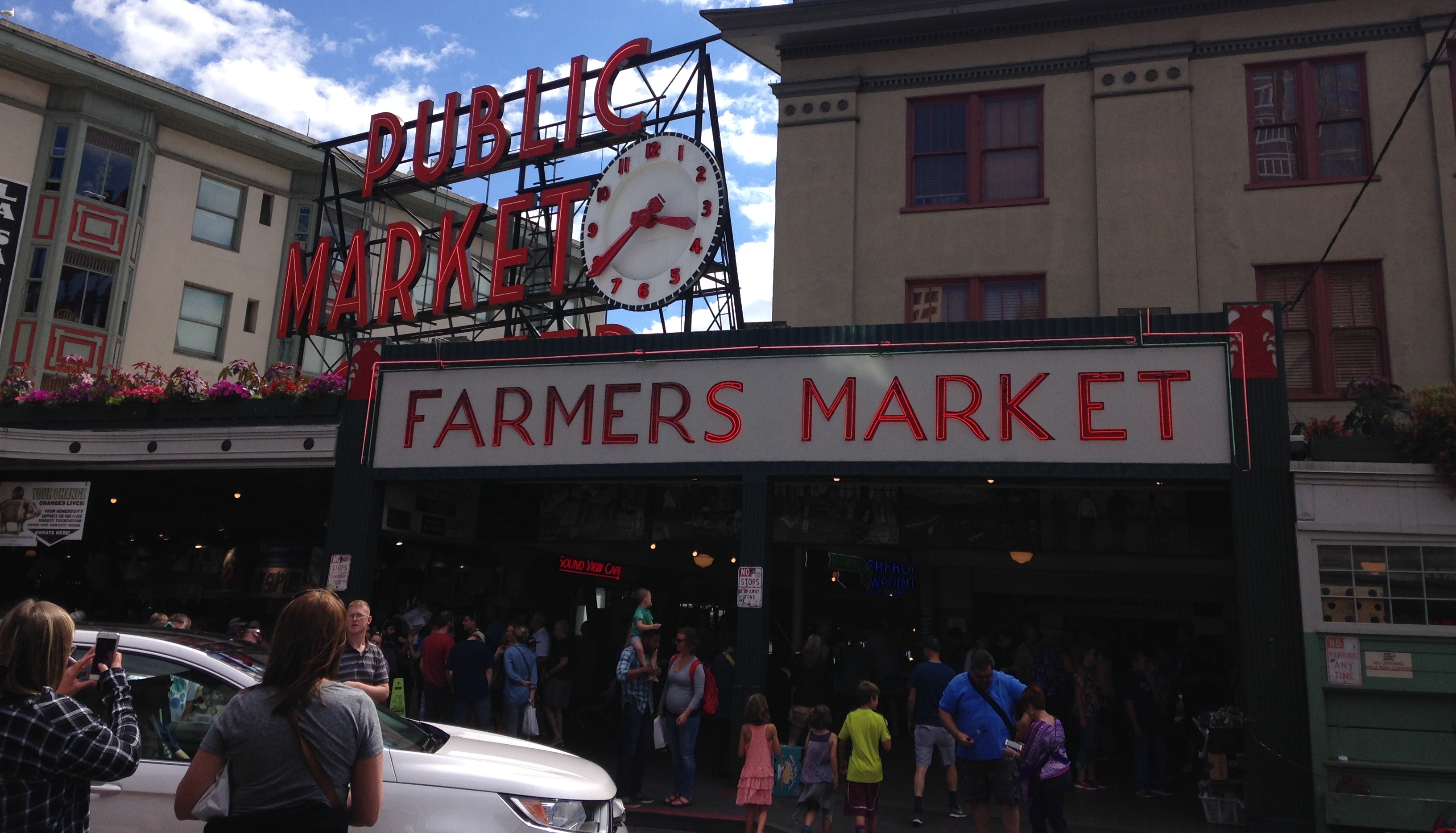
Beyond the Region is a sporadically-published edition of MTR, which will document the transportation-related components of TSTC staff members’ travels. Last week, TSTC Communications Assistant Emma Kilkelly trekked west to Seattle, WA.
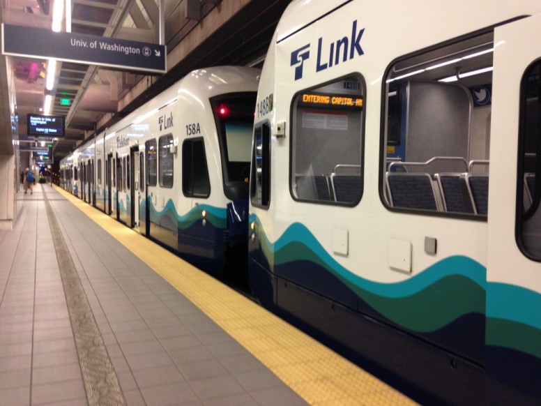
Portland seems to get the bulk of the attention for biking and transit in the Pacific Northwest, but Seattle is looking pretty good these days too. A few weeks ago, I headed back out west to the Emerald City, which is, believe it or not, hipper than Portland but not nearly as rainy as you probably think it is. After hopping off my flight, I jumped onto the Link at Sea-Tac to head to Capitol Hill.
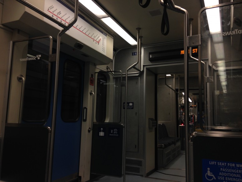
The Link, operated by Sound Transit, runs 18.8 miles between Sea-Tac Airport and the University District. The system recently unveiled the first extension of the line from Westlake station to Capitol Hill and the University District earlier this year in March, six months ahead of schedule and $200 million under budget. Sound Transit reported last month that its extension to the south of Sea-Tac Airport is 94 percent complete and set to open this September.
Most of my time in Seattle was spent in Capitol Hill, one of the most walkable, bikeable and transit-accessible neighborhoods in the city.
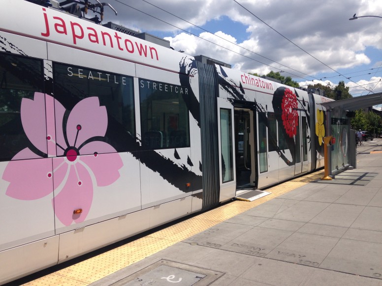
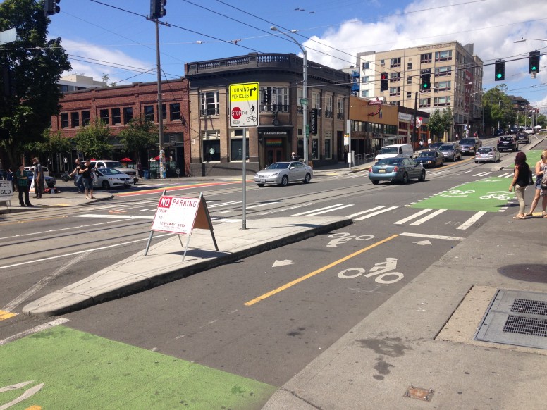
Broadway, a major thoroughfare through the district, was redesigned back in 2014 to accommodate the newly-opened First Hill Streetcar, which runs 2.5 miles between Pioneer Square and Capitol Hill. Like the rest of Seattle’s transit (buses, light rail and, yes, ferries), the streetcar accepts ORCA cards, the contactless, smart card payment system integrated into a number of transit systems throughout the Puget Sound region.
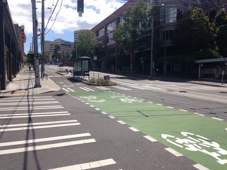
Part of the redesign included a separated cycle track, complete with bright green crossbikes, which runs between the streetcar platforms and sidewalks.
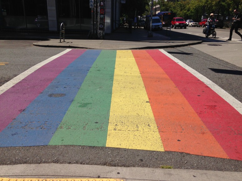
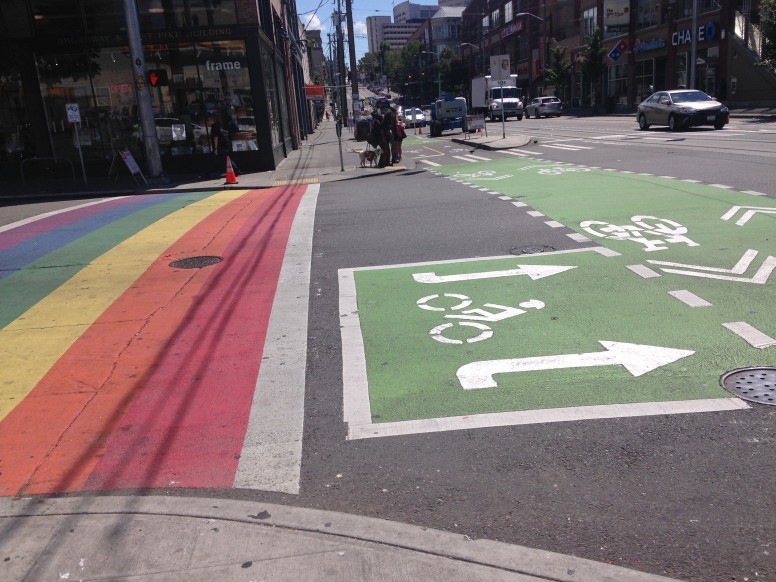
The rainbow crosswalks and crossbikes in action together made for some lively looking streets.
The streetcar, however, does not have an exclusive right of way, meaning it has to share the streets with vehicular traffic. Still, the line has seen promising ridership since its launch in January.
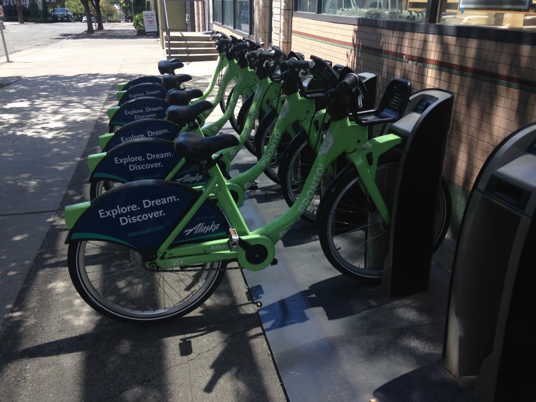
Pronto, Seattle’s bike share system, is mostly centered downtown, which is larger, denser and more successful than the sparser satellite system in the University District. Pronto is also one of the few bike share systems in a major city with a mandatory helmet law. After nearly going bankrupt with ridership and revenue far behind projected targets, the system was bought out by the City of Seattle earlier this year with plans to expand the program citywide.
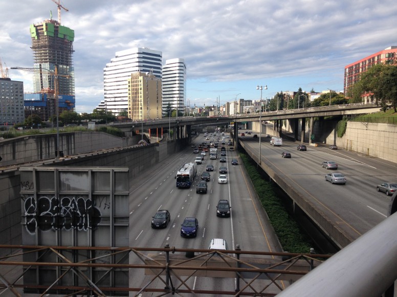
Even with all the street-level change happening, Seattle, like a lot of cities, has a highway problem. Interstate 5, which runs all the way from Canada to Mexico, cuts down the center of the city.
The most notorious transportation-related endeavor in Seattle is without a doubt the plan to replace an elevated portion of Route 99 with an underground tunnel with help from Big Bertha, the $80-million tunnel-boring machine that got stuck underground for nearly two years. The now-$3.4 billion project to replace the Alaskan Way Viaduct (which has cut Seattleites off from their downtown waterfront for decades) includes plans to build a boulevard on top of the eventually-tunneled Route 99.
Nonetheless, Seattle (and Washington as a whole) are working to make sure their rapidly growing population can keep moving efficiently and safely. Earlier this month, Washington implemented a 4.9-cent gas tax increase and $100 electric car renewal fee increase as part of a $16 billion, 16-year transportation package. And last fall, Seattle voters approved the Move Seattle levy, a record-breaking $930 million, nine-year investment in transit and better streets for walking and biking.
