
AirTrain LaGuardia
Transit to LaGuardia Airport: Don’t Believe in Ferry Tales
More than four months after Governor Kathy Hochul hit the brakes on the $2.1 billion LaGuardia AirTrain proposal, the Port Authority has released 14 alternative
More than four months after Governor Kathy Hochul hit the brakes on the $2.1 billion LaGuardia AirTrain proposal, the Port Authority has released 14 alternative

Thank you for the opportunity to testify today. My name is Isobel Cully, and I am a member of the Vision Zero New Jersey Alliance,

My name is Talia Crawford, I am the Campaign Organizer for the Tri-State Transportation Campaign. Thank you for the opportunity to speak in front of
My name is Talia Crawford, I am the Campaign Organizer for the Tri-State Transportation Campaign. Thank you for the opportunity to speak in front of
I am Talia Crawford, the Campaign Organizer for the Tri-State Transportation Campaign. Thank you for the opportunity to provide public comment before the Board this

Happy New Year! Over the holidays, we here at Tri-State took a moment to reflect on this past year of advocacy for equitable mobility throughout
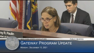
Good morning, and thank you, Chair Paulin, for holding this hearing today. My name is Liam Blank, and I am the Policy & Communications Manager
I am Talia Crawford, the Campaign Organizer for the Tri-State Transportation Campaign. Thank you for the opportunity to provide public comment before the Board this
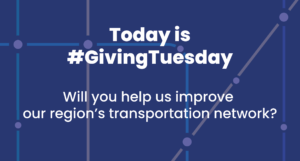
Today is #GivingTuesday, the unofficial start of the holiday giving season, and Tri-State Transportation Campaign is hoping you’ll help us make an impact by making
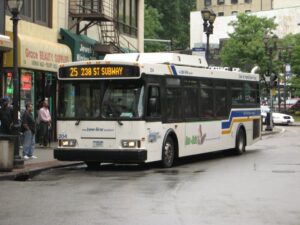
On October 8th, Liberty Lines Transit, the private operator of Westchester County’s Bee-Line Bus System, unveiled a modified service plan that went into effect on
My name is Talia Crawford, I am the Campaign Organizer for the Tri-State Transportation Campaign. Thank you for the opportunity to speak in front of
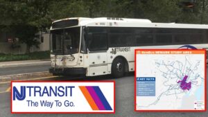
TSTC welcomes the opportunity to be part of the public process to help shape the bus network redesign and ensure that throughout this journey we