This week, a number of New York’s transportation agencies unveiled technological initiatives that promise to help people get around without cars.
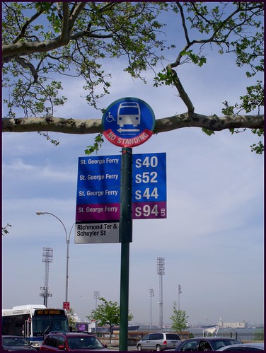
On Staten Island, the MTA’s real time bus tracking service went live. The program, which is known as Bus Time, was developed with OpenPlans at the urging of Straphangers and other advocacy groups. Riders can now text the MTA with a station code or intersection to get their bus’ location (they can also visit the Bus Time site). The pilot program on Brooklyn’s B63 line was deemed successful, and the MTA may roll out the service to all five boroughs by the end of 2012 (Crain’s says that the service will “include the entire city by the end of 2013”). Software developers will have access to vehicle data.
Elsewhere in New York, NYSDOT released an interactive map that shows bike routes across the state. Users can find information about lane layout and search for bike-friendly roads by region.
The New York City Department of Transportation (NYCDOT) has also gotten involved: a recent Streetsblog post reminds us that the city’s incoming bike share program will track trips with GPS, which will give the city all-too-rare bike traffic data.

[…] Reporters also found that route planning was more difficult than it should be. Despite ConnDOT’s recent Google Transit initiative, the Post’s writers still had a hard time plotting out trips. 15 bus systems get people around Connecticut, but a coordinated effort to make cross-system trip planning easy has yet to be developed. It’s not hard to imagine a web and smartphone app that makes this possible. […]